Our client wishes to acknowledge their support for the Proposed Local Secondary road infrastructure on their lands at Spa, Spa Road, Clonmel, Co. Waterford to be provided under proposed Transport...
Map 3: Transport Map
Closed18 Jun, 2021, 11:00am - 30 Aug, 2021, 5:00pm

Map 3: Transport Map
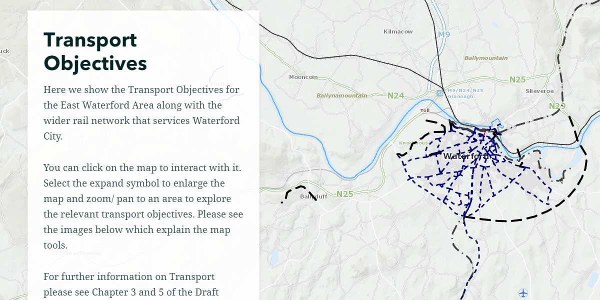
This map shows Waterford’s Transport Map. The data contained in the map is as follows:
- Transport Objectives;
- Recreational Trails; and
- Airport Maps.
Click here to view map
Contents
Observations
Observations
The red line sketched on the map below should be added to the Transport Map for Dungarvan as a pedestrian/cycle route objective.
WCCC had pursued this as a recreational route in the past as...